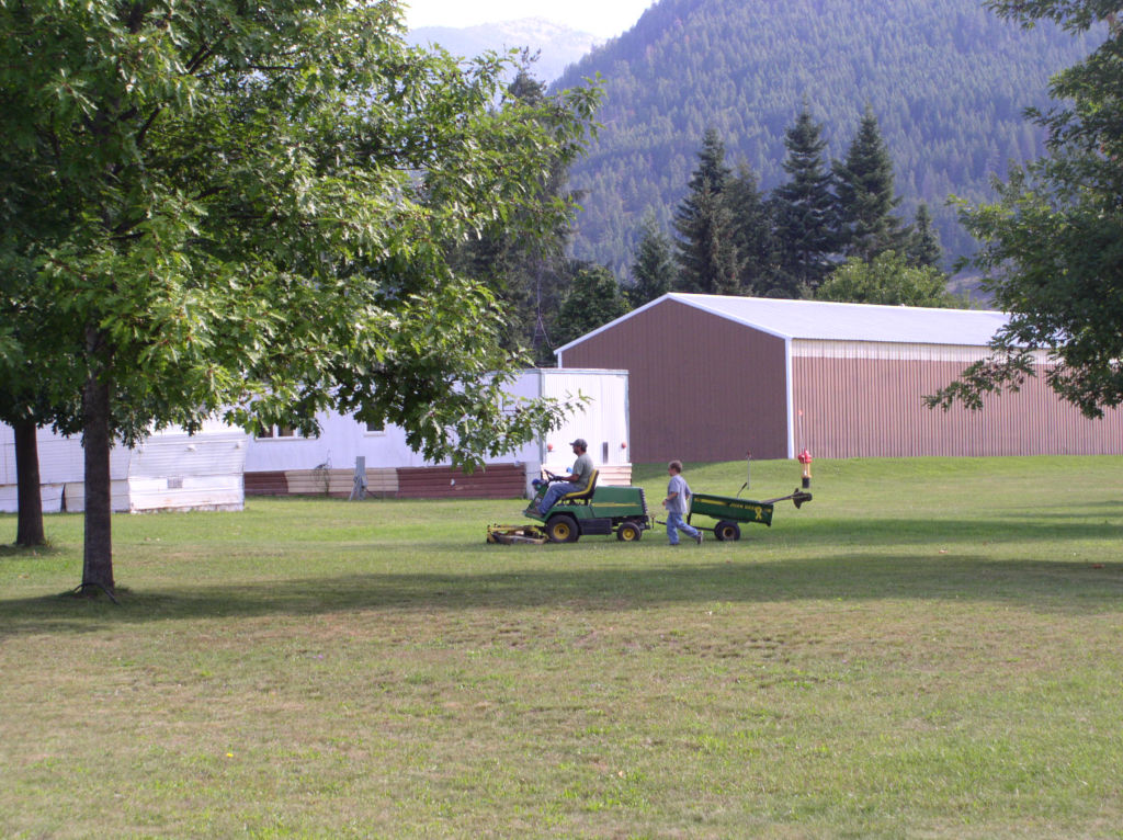
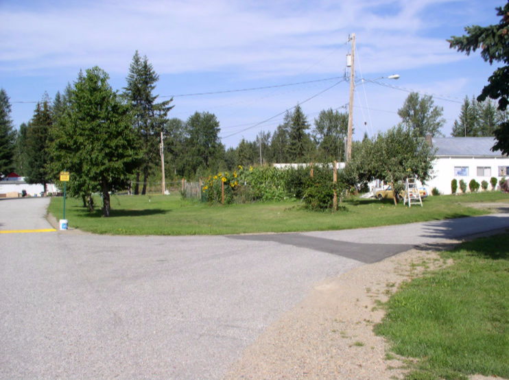
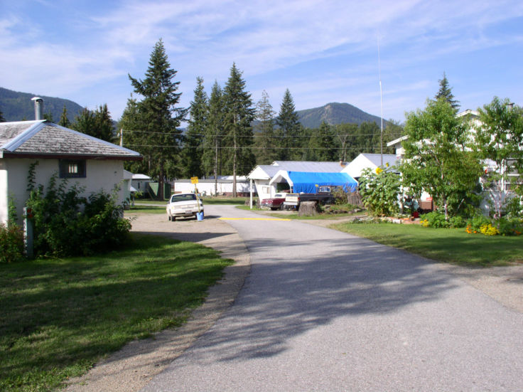
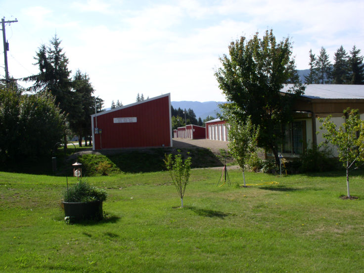
Clark Fork is concidered a bedroom community of the greater Bonner County area with a population of 550 year around residents. The surrounding area has a population of approximately 2000-3000 depending on the season.
Local ammenities in and around Clark Fork include: Markets, Gas stations, Restaurants, Churches, Junior/Senior High School, Grade School (6 miles), Mini Storage, Motel, Thrift Store, Antiques, Hardware, Nursery.
Area activies include: Two Community Centers, Youth Center and Athletic Club which provide events year around, including Bingo, Exercise classes, Quilting, Weaving and Painting to name a few.
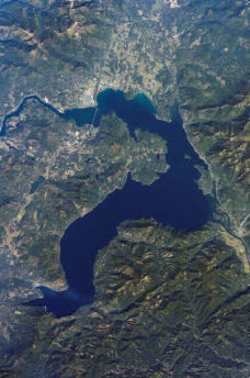
Clark Fork is surrounded by National Forests, Lakes, Rivers and Streams where you can Hunt, Fish, Hike, Backpack, Camp, ATV, Snowmobile, Cross Country Ski, Water Ski, Kayaking and many more.
The City of Clark Fork became a viable town in the early 1880's during the construction of the Northern Pacific Railroad line through the Bitterroot and Cabinet Mountains. It has remained a small community throughout a 100 years plus of history and its citizens have seen considerable mining, logging, sawmills, farming, Forest Service activity, fish hatcheries, dam construction, fur trapping activity, collegiate studies and homes for teens. Also, for most of it's history the railroad maintained a station and section crew in Clark Fork. Clark Fork became an incorporated city in 1912.
In the 19th century the Clark Fork Valley, like the shores of Lake Pend Oreille around Hope, was inhabited by the Flathead tribe of Native Americans. It was explored by Meriwether Lewis of the Lewis and Clark Expedition during the 1806 return trip from the Pacific. The river is named for William Clark.
Much of Clark Fork's story over the following years had to do with crossing the river. The bridge on the Clark Fork River provided one of the only passes to the north, with the steamboats bringing miners making the arduous journey to the Kootenai gold rush, this was one of the only ways to travel. Before a bridge was built, Clark Fork had a ferry to make the crossing. Early ferries were nothing more than logs lashed together. Later, records indicate a ferry was operating in 1893, but this was a decade after the Northern Pacific line was put in place, so it is safe to assume there was a brisk business with ferry crossings during construction.
Most of Clark Fork's residential and business district is platted on land laid out in lots by John and Annie Nagel in 1903. John Nagel had received patent from the Federal Government in the year 1900. Early settlers who have descendents in the area are Foster, Vogel, Mead, Klug, White, Hazelroth, Brashear, Reed, Bixel, Johnson, Webb, Derr, Nagel Sheilds and Daugherty. A 1950 News-Bulletin article mentions Herman (Fitz) Vogel, Sr. as the longest resident of Bonner County.
Until WWI there was a lot of sawmill activity, then to a lesser degree through the 1950's. Early sawmills include McGillis and Gibbs, Lane and Potter. From the start until the late 1950's, mining operations played an important role in the community's economy. Approximately 75 men were employed in the mining and milling industry during the peak years. The Whitedelph mine and mill located near the Spring Creek fish hatchery began operation in 1926 and ceased in 1958. It yielded galena ore assaying principally in silver, lead and zinc. There was the Lawrence mine located on Antelope Mountain near Mosquito Creek and near what was known in recent past as the University of Idaho field campus. There are numerous other prospect holes scattered all over nearby hills.
Until WWII the Clark Fork Valley supported numerous small farms which were usually homesteads staked out by early settlers. Since then, the small farms have disappeared and in their place are fewer large farms.
Taken from the Bonner County History Book


